Daily Image
02-06-2020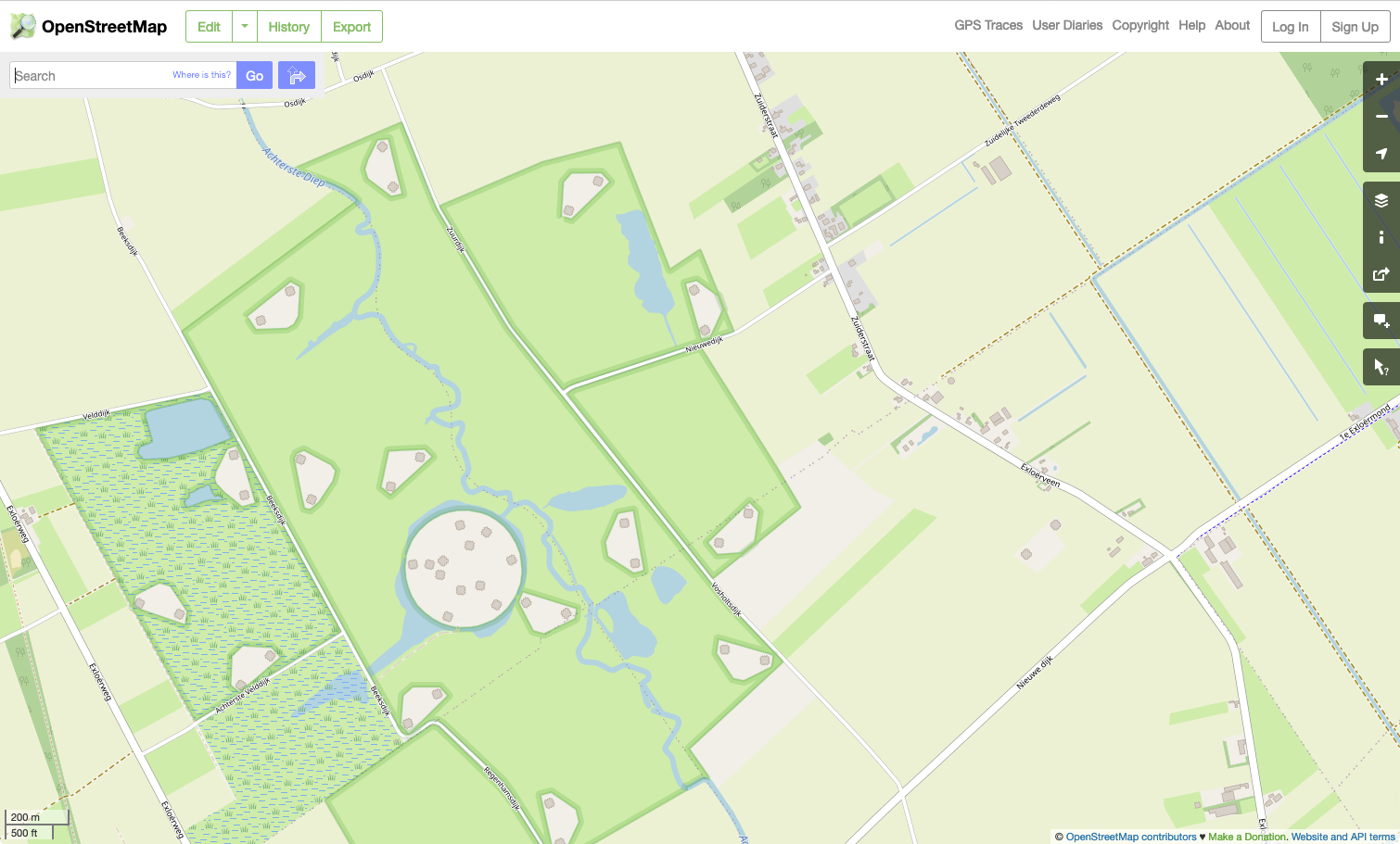
LOFAR on OpenStreetMap
| Submitter: | Tammo Jan Dijkema |
| Description: | LOFAR is now on OpenStreetMap! While many stations were already on there, I added some 30 stations that were not. Also, I added the HBA geometry, so that the HBA tiles now show up on the map, as they do on aerial photos. These data should of course not be used for getting station locations used in interferometric imaging, we have better sources for that. However, it could be useful to overplot data on a street map. Here are some stations to explore on OpenStreetmap: LOFAR core, I-LOFAR (Ireland), UK608 (Chilbolton UK, with test tiles), LOFAR-Latvia (with surrounding telescopes), KAIRA in Finland (not part of the LOFAR array but LOFAR antennas), Effelsberg. |
| Copyright: | CC-BY-2.0 OpenStreetMap Contributors |
| Tweet |  |